


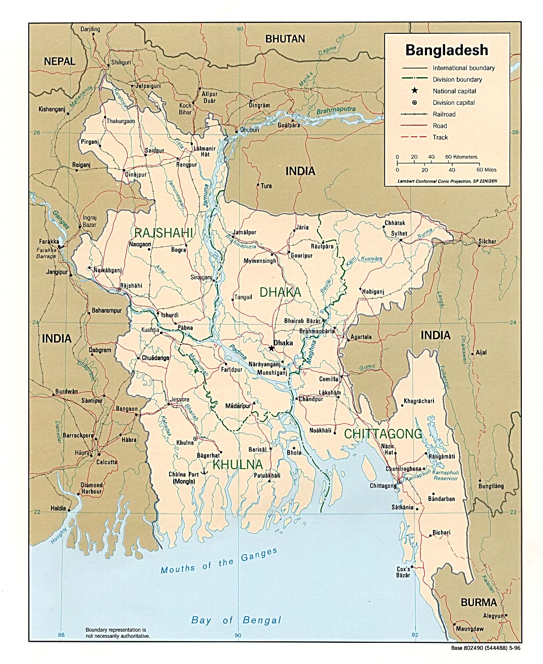
Bangladesh Map
Political map of Bangladesh
Bangladesh Maps
Bangladesh Maps. The Perry-Castaneda Library Map Collection at the University of Texas at Austin
Bangladesh Political and Physical Maps
Provides purchasing information and images of regional, topographic, travel, geological, and thematic maps of the Bangladesh region
Flag and National Anthem
Flag and National Anthem (in Bangla) of the People's Republic of Bangladesh
History of National Flag
The national flag of Bangladesh was a product which first came into idea of painter Quamrul Hasan. On the 3rd March 1971, the first flag of Independent Bangladesh was hoisted at the Dhaka University premise.
Maps of Bangladesh
Including administative units, transport network, rivers, physical, soil, population density, tourist centers, Dhaka, Chittagong, Khulna and Rajshahi cities.