


AskMaps
Has index of streets and city monuments ready for printing.
Celtic Shadows
Photographic tour of Northeast Scotland and England from a native's viewpoint.
Election Maps
Free constituency, county, borough and ward maps. Includes ability to select overlays required between the different types of administrative boundaries, and to determine which area a postcode resides in.
Francis Frith Collection
Photographs of 7,000 towns and villages taken between 1860 and 1970. Available as prints and in book collections. Thumbnail views, watermarked enlargements and ordering details.
Google Maps
Zoomable maps focused on an address or post code. Maps can be searched by business category. Also provides driving directions.
Map24
Full minor road and street level coverage for the whole of Great Britain. Enter a UK address to access maps. Zoom and roam features.
Old Maps
Online Ordnance Survey maps of 1846-1899 covering England, Scotland and Wales at 1:10,560 scale.
Ordnance Survey
Britain's national mapping agency. Historical, touring, landline, superplan, GB, Landranger, Explorer, road and street maps.
Skylibrary
A UK-based aerial photography company with a large archive of UK aerial photographs.
Streetmap
Online maps with detailed streetmaps of London. Search by postcode, place name, London streetname or grid reference.
UK 360s
Panoramic photographs from around the British Isles by Craig Wilkinson.
UK Contrail Pictures
Aircraft contrail images, detailing how different patterns and effects can be formed.
UK Multimap
Online maps of the UK, down to street level. Search by street name, postcode or placename. Based on O/S data.
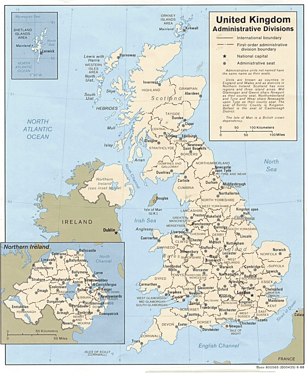
United Kingdom
Map of the administrative divisions as they stood in 1988, from the Library of the University of Texas.
Your Old Maps Online
Scans of out of copyright maps and etchings, organised by country and county.