


Annual Precipitation
Shows the average annual precipitation for years 1960-1990.
Color Landform Atlas
Maps, satellite imagery, and links to other state resources.
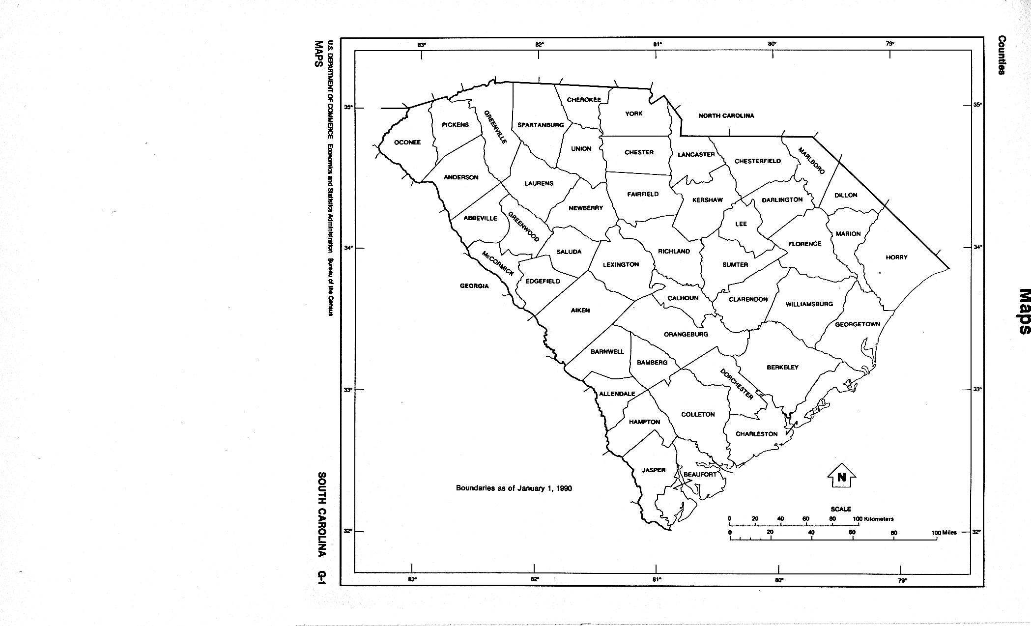
Counties-Outline
Outline only of counties, no features.
Mapthon: South Carolina
A variety of views of the state include: roads, road conditions, counties, cities and parks.
Merriam-Webster's Atlas: South Carolina
Map of the state with historic and demographic data.
Satellite Image of South Carolina
This is a view of the state from space.
SCDOT - Coastal Evacuation Routes
Provides state map as well as detailed directions for locating and using evacuation routes.
SCDOT: Getting Around in South Carolina
Provide an overview of interstates and rest area locations.
South Carolina Geographic Alliance
Maps displaying social and economic data for the state.
UT Library: Perry-Castañeda Map Collection
Extensive collection of current and historical maps.