


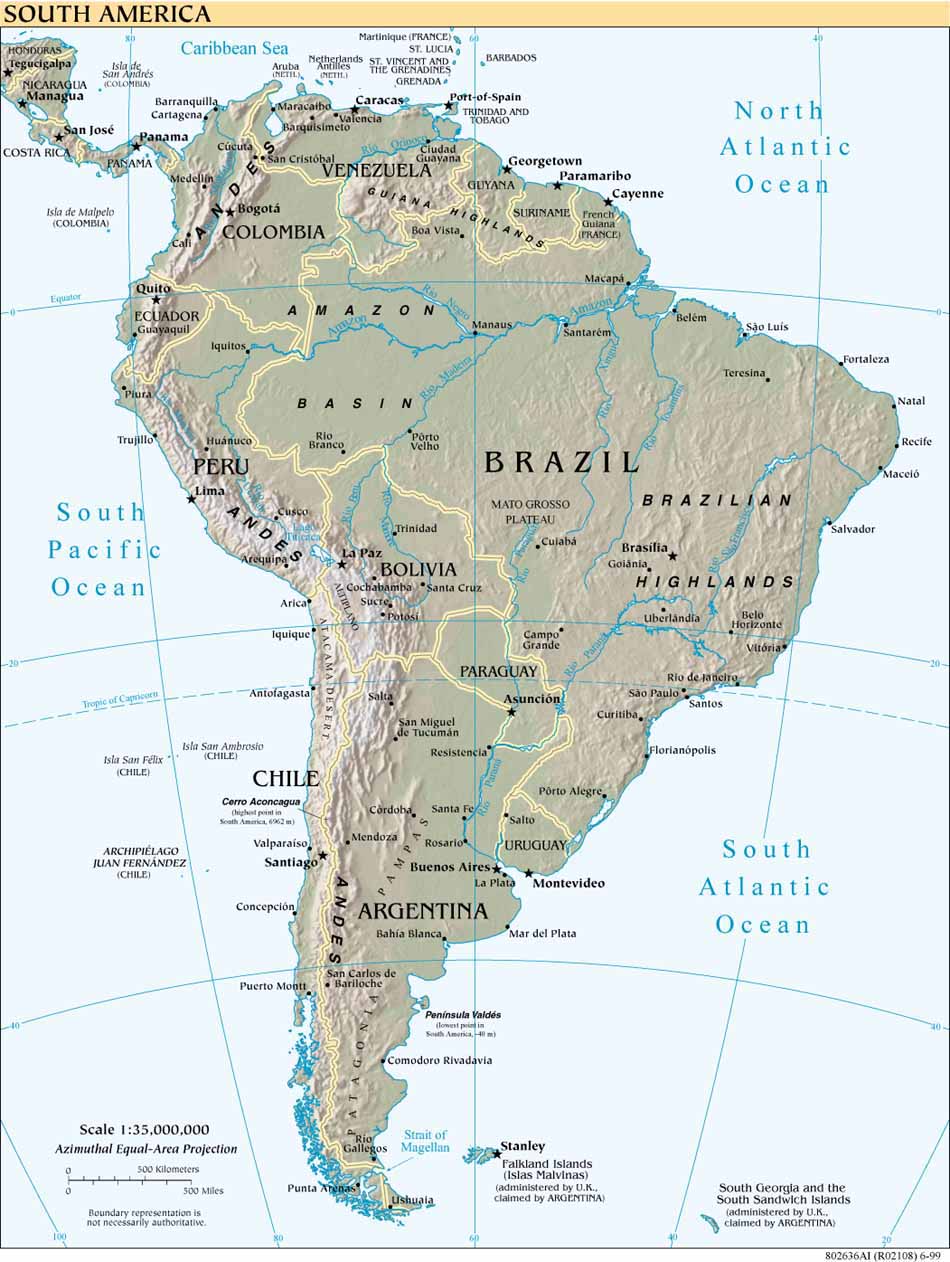
Maps
CIA The World Factbook, Early Works to 1800, Owl & Mouse Educational Software, South America 1998, South America Guides, South America Map Puzzle, South American Maps, Volcanoes in South America, Web Earthquakes: South America
Aerial images of South America
Aerial images from Adrian Warren photo library of wildlife and nature.
Gonzales2010
Photo gallery from a trip through Chile Bolivia and Peru.
Junglephotos
Photos from the Amazon rain forest: animals, plants, people, scenery and towns.
Nasa Jet Propulsion Laboratory
A color image of the Earth obtained by Galileo on December 11, 1990, South America is near the center of the picture, and the white, sunlit continent of Antarctica is below.
National Geographic
Resource for scientific discovery, travel, exploration, photography, maps, and news.
Photo Impressions
A gallery from Peru, Bolivia, and Buenos Aires city, Argentina.
Some Pictures from Some Places
Photo journal and despatches from the whole of South America.
South America
Photographs from travels to Argentina, Bolivia, Brazil, Chile and Peru by Anita Kucharska and Maciek 'Kruger' Kiersztyn.
South America Earthquake Map
Shows how seismicity patterns build with time. Provided by USGS National Earthquake Information Center.
Sudamerika
Photographs from a trip through South, landscapes, interesting people and a few animals. Argentina, Bolivia, Brazil, Chile, Peru and Venezuela are covered.
To the End of the World and Back
Photo gallery of a journey from Buenos Aires to Tierra del Fuego and back via Chile and Bolivia, ending at Lake Titicaca.
Travel Photos Around the World
Many photos of Chile, Equator and Panama Canal.